
- This event has passed.
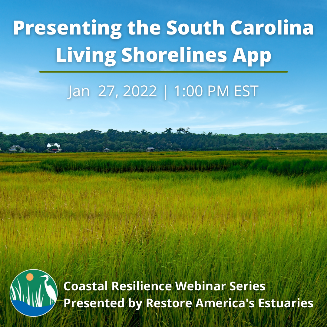
Presenting the South Carolina Living Shorelines App
The South Carolina DHEC Office of Coastal Resource Management recently worked through a NOAA funded 5 year process to develop living shoreline permitting guidance. The new guidance and framework, the first for the state, was developed after increased coastal property owner interest were looking for more natural shoreline stabilization options. The new permit came on line in May 2021 and there was immediate interest and pre application meetings requested. In a collaborative effort, DHEC worked with multiple stakeholders over the years included BMP research conducted by SCDNR. Outreach and education were key elements of the final years of the permit implementation process. To that end, SC DHEC partnered with TNC to develop a map based first look for property owners that could support siting information. Other partners including Clemson University worked with the state and other partners to develop a Living Shoreline 101. Together the TNC LS app, Clemson’s LS website and DHEC’s updated LS permitting site provide great resources for property owners to educate themselves before requesting a pre application meeting.
TNC’s LS app for South Carolina is part of the public facing Coastal Resilience program. Coastal Resilience is a program led by The Nature Conservancy to examine nature’s role in reducing coastal flood risk. The program consists of an approach, a web mapping tool, and a network of practitioners around the world supporting hazard mitigation and climate adaptation planning. The LS app for South Carolina contains 3 categories of energy for siting projects plus additional data linked from partner sites (ex. DNR’s shellfish harvest areas). TNC contracted with the Biohabitats team to develop the energy siting layers for the app. The team included Biohabitats, Water Environment Consultants and Geoscience Consultants who developed a method to enumerate and rank wind wave energy, boat wake energy and maximum fetch. Property owners can use the information to determine if the proposed site is likely to support a living shoreline, can infer what type of materials might work and provide a map print out to take into the DHEC pre application meeting.
Panelists
Joy Brown – Marine Program Manager, The Nature Conservancy
 Joy earned a BS in Biological Sciences from Florida State University and a Master’s in Biology and Coastal Zone Studies from The University of West Florida in 2007. A native of the Florida Panhandle, Joy worked with a small non-profit group, The Choctawhatchee Basin Alliance, for five years, where she helped grow the organization and implement many of their marine and stormwater programs. She also held a position with the City of Fort Walton Beach where she began an oyster restoration program that utilized local volunteers for oyster gardening and included a science teacher mentoring element.
Joy joined the Science and Stewardship staff of the Charleston Field office in August 2008. Since joining the TNC team, Joy has implemented on-the-ground oyster restoration projects that provide habitat for recreationally and commercially important seafood (crabs, shrimp, fish) and natural shoreline stabilization (living shorelines). She has worked with partners in new and different ways, bringing attention to our marine work from diverse groups. Joy has more recently been leading our North Coast Resilience Project that started in 2016. She is working with communities in Horry and Georgetown Counties to provide nature based solutions for flood mitigation.
Stephen Creighton, P.E.
 Mr. Creighton is a civil and coastal engineer with 10 years of experience working on an array of public and private projects. As a project engineer with Water Environment Consultants, he provides design and permitting support for projects in the marine environment, particularly near rivers, estuaries, and coastal areas. For the FEMA Risk MAP program, Mr. Creighton has modeled and mapped storm surge and flood hazards for over 20 counties extending from North Carolina to the Florida Keys. He is skilled in field data collection and the monitoring of tides, currents, waves, sediments, and water quality. He also has extensive experience in numerical modeling, including 1D, 2D, and 3D hydrodynamic, wave, and water quality modeling.
Mr. Creighton grew up near Jacksonville, FL, steeped in the waters of the St. Johns River. He received a B.S. and M.S. in Civil and Coastal Engineering from the University of Florida before relocating to Charleston, SC. Mr. Creighton is a proud husband, sports enthusiast, and lover of all water activities
