

- This event has passed.
GIS Mapping: Presenting Results and Findings
May 13, 2025 @ 11:00 am - 12:30 pm
GIS Mapping: Presenting Results and Findings
Platform: Zoom
Date/Time: Tuesday, May 13th, 2025 from 11:00 am – 12:30 pm
Facilitator: Marin Karr
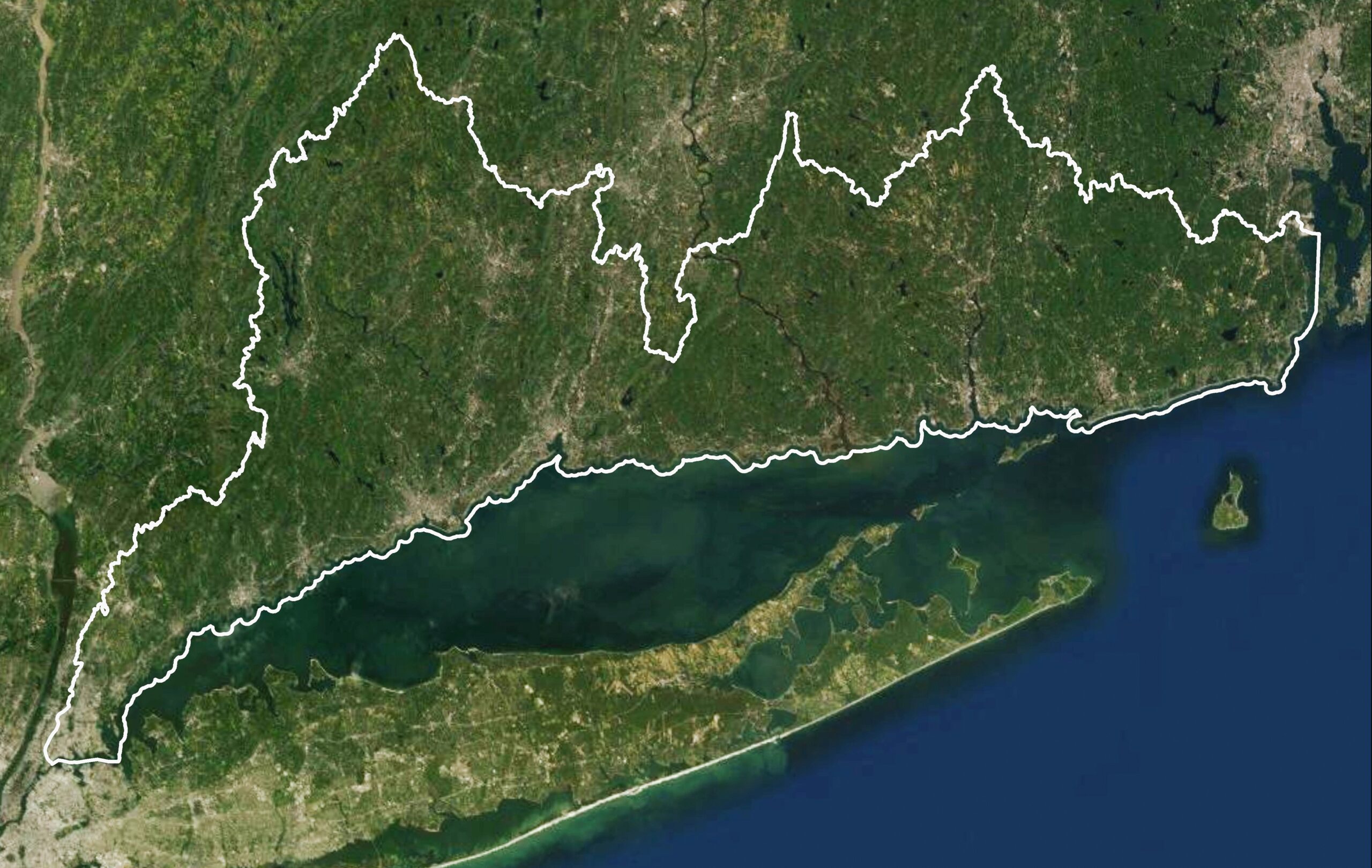
Description: Join our introductory training on GIS and find out how your organization can use QGIS to map coastal resiliency, access, and restoration projects. Learn about the importance of GIS and sharing your data to advocate for your community. Explore how maps can strengthen strong narratives that highlight results and impact. The training will cover the basics of GIS, its importance, and how to get started on creating your own maps using QGIS software.
Marin Karr is a master’s student at the University of Leipzig, studying sustainable development with a focus on governance. Before attending graduate school, they worked as a Community Engagement and Land Stewardship Coordinator at Dartmouth Natural Resources Trust (DNRT) where they created Story Maps to assess the accessibility of parks owned by DNRT in Massachusetts.
